Buy this book

IF you look at a Map of the World, you will see, in the left-hand upper corner of the Eastern Hemisphere, two Islands lying in the sea. They are England and Scotland, and Ireland. England and Scotland form the greater part of these Islands. Ireland is the next in size. The little neighbouring islands, which are so small upon the Map as to be mere dots, are chiefly little bits of Scotland, - broken off, I dare say, in the course of a great length of time, by the power of the restless water.
Buy this book

Previews available in: English Russian
Subjects
Compends. [from old catalog], Juvenile History, Juvenile literature, History, Facades, Pictorial works, Artistic Photography, Architectural photography, Marion, francis, 1732-1795, Great britain, history, juvenile literature, Great britain, history, Education, great britain, History (Juvenile), Kings and rulers, Histoire, Ouvrages pour la jeunessePlaces
Great BritainShowing 13 featured editions. View all 167 editions?
| Edition | Availability |
|---|---|
| 01 |
bbbb
|
| 02 |
zzzz
|
| 03 |
bbbb
|
| 04 |
aaaa
|
| 05 |
bbbb
|
| 06 |
bbbb
|
| 07 |
bbbb
|
| 08 |
eeee
|
| 09 |
bbbb
|
| 10 |
bbbb
|
| 11 |
bbbb
|
| 12 |
bbbb
|
|
13
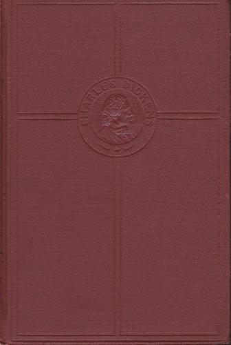
The Works of Charles Dickens, Volume Twenty-eight: A Child' History of England
xxxx, Peter Fenelon Collier
in English
|
bbbb
|
Book Details
Edition Notes
Volume XV
The Physical Object
Edition Identifiers
Work Identifiers
Community Reviews (0)
History
- Created May 29, 2009
- 8 revisions
Wikipedia citation
×CloseCopy and paste this code into your Wikipedia page. Need help?
| December 23, 2011 | Edited by Dan Roth | Added new cover |
| December 20, 2011 | Edited by Dan Roth | Edited without comment. |
| December 19, 2011 | Edited by Dan Roth | Edited without comment. |
| December 19, 2011 | Edited by Dan Roth | Edited without comment. |
| May 29, 2009 | Created by ImportBot | Imported from Collingswood Public Library record |


