Buy this book

This edition doesn't have a description yet. Can you add one?
Buy this book

Previews available in: English
Subjects
Guidebooks| Edition | Availability |
|---|---|
|
1
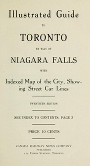
Illustrated guide to Toronto by way of Niagara Falls: with indexed map of the city, showing street car lines.
1912, Canada Railway News Co.
in English
- 20th ed.
|
aaaa
|
Book Details
Edition Notes
Classifications
The Physical Object
Edition Identifiers
Work Identifiers
Community Reviews (0)
History
- Created January 30, 2009
- 2 revisions
Wikipedia citation
×CloseCopy and paste this code into your Wikipedia page. Need help?
| August 6, 2012 | Edited by ImportBot | import new book |
| January 30, 2009 | Created by ImportBot | Imported from Internet Archive item record |


